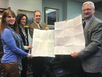
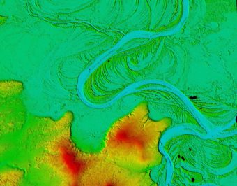
Alaska relies on topographic maps that are over 50 years old. These maps, some of which were hand-drawn, are rife with inaccuracies. Rivers flow upstream, mountains are out of place and some features are missing altogether. This year, Alaska hopes to take a big leap forward by completing new maps for over half of the state.
"topography"
New 3-D map will help monitor climate change in Alaska
Topographic maps created from satellite imagery will enable anyone to observe and document changes such as eroding coastlines or melting glaciers.
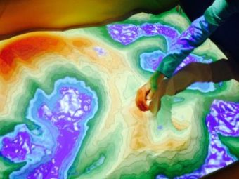
Dynamic sandbox brings topographic, weather maps to life
From mountains to rainstorms, this sandbox can bring the natural world to life.


