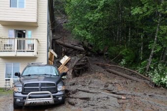
AK CASC funded the interactive flood website that helped inform Juneau’s Mendenhall Valley residents about the threat to their homes.
"US Geological Survey"
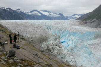
USGS expands landslide monitoring in Southeast Alaska
Data from Juneau’s Mount Roberts went online last month and new research site installations are planned for another community this fall.
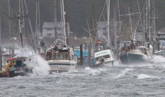
A pair of earthquakes near Glacier Bay shook Southeast Alaska on Friday
Two quakes above magnitude 5 were felt lightly in places as far away as Juneau and Whitehorse. Smaller aftershocks continued through the weekend — about 40 so far.
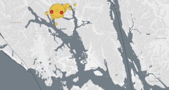
It’s raining data: Autumn storms a trove of information for Sitka landslide research
A slew of new instruments is helping shed some light on whether this storm is producing only the usual downed limbs and trees, blowing trash cans and power outages — or if it has the potential for more serious damage.
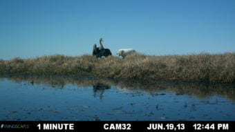
What can unflappable geese teach us about the future of Arctic development?
Every summer, millions of migratory birds like the greater white-fronted goose descend on the National Petroleum Reserve, to lay eggs, molt their feathers and fatten up. A lot of the oil potential lies squarely in migratory bird habitat.
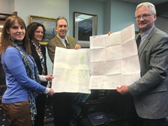
USGS overhauling inaccurate, outdated Alaska maps
Alaska relies on topographic maps that are over 50 years old. These maps, some of which were hand-drawn, are rife with inaccuracies. Rivers flow upstream, mountains are out of place and some features are missing altogether. This year, Alaska hopes to take a big leap forward by completing new maps for over half of the state.