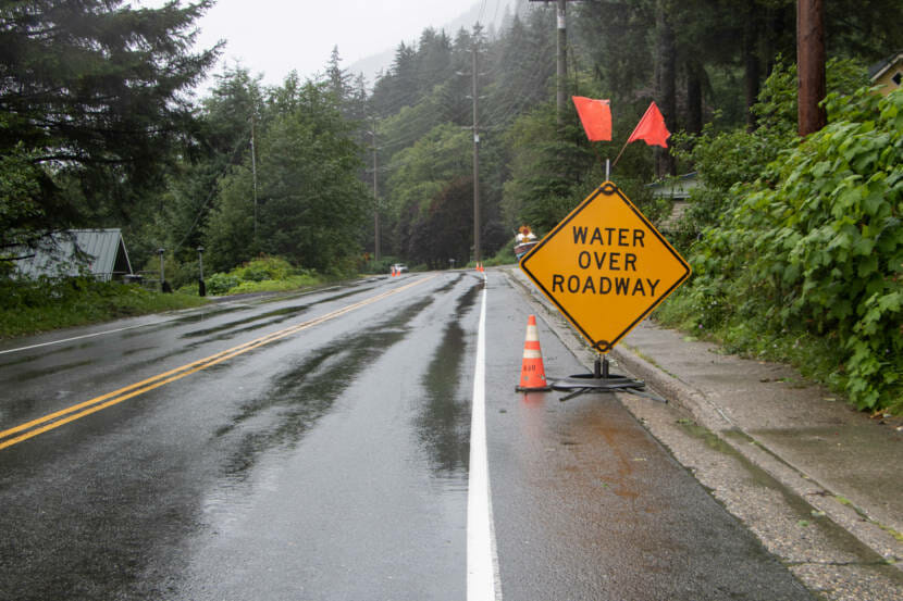
The National Weather Service in Juneau says its flood watch for Juneau, Skagway and Sitka remains in effect through Tuesday afternoon.
That’s when most of the rain will be over, said Nicole Ferrin, a meteorologist in Juneau.
“We are getting some good rainfall rates today, but expect them to increase even more late Monday night, into early Tuesday morning,” she said.
In the meantime, there are risks of water on the roads and in more flood-prone areas of town, like Montana Creek Road.
As far as landslides, Ferrin said Haines has seen already some minor ones in notorious slide areas during this storm.
“In the Juneau area, you know, we’ve got some places that could be at risk of very isolated minor things, and so people should be aware of that possibility,” she said.
No slides have been reported Juneau.
Ferrin said Juneau residents should clear their storm drains and be cautious when recreating around Mendenhall Lake and River, as those are likely to keep rising even after the major rains have passed.
This year is still on track to be Juneau’s wettest on record.