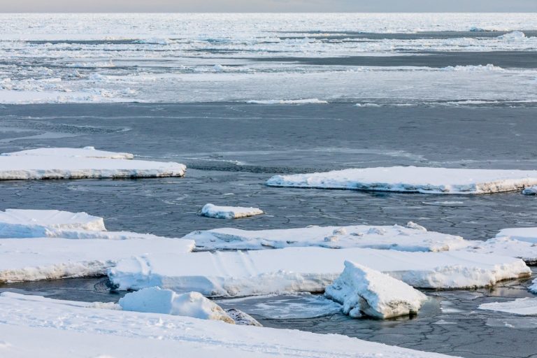
As of Nov. 3, sea ice in the Bering and Chukchi Seas is the lowest on record for the last five years, even with tiny bits of ice starting to form in Norton Bay and Kotzebue Sound. One climatologist forecasts that sea ice will form late, the extent will be below average, and it will be similar to last year’s.
The Bering Strait region is on track to have the lowest sea ice extent on record for early November, based on a 15-year dataset.
It started this summer, when May through September again featured some of the warmest ocean temperatures on record. Climate specialist Rick Thoman, with the Alaska Center for Climate Assessment and Policy (ACCAP), said the good news is that summer 2019 was still significantly warmer than this summer.
“In Eastern Norton Sound, in Kotzebue Sound, those are temperatures that are seven degrees Fahrenheit or more above average for that entire five months. And you can see the entire Chukchi Sea, almost all of the Bering Sea in 2019 was significantly warmer than normal. That’s not the case this year, well actually it kind of is, in that most of the Bering Sea for those five months, did end up warmer than normal,” Thoman said.
Thoman points out that in the northern Bering Sea, sea surface temperatures have gone from 42 degrees in the early 1900s up to about 45 degrees today.
“That doesn’t sound like much to most folks, but three-to-four degrees warming of a five-month average, in the ocean…is really just incredible,” he said.
As the average temperature in the Bering and Chukchi Seas continues to climb, and with the La Niña conditions this year, sea ice extent is expected to remain below the historical average. However, Thoman says sea ice in the Bering Strait region most likely won’t be as poor as last year. Nome didn’t see sea ice offshore until late November 2019, and even then the quality was poor.
“It’s still below the recent years’ average, but not as low as last year, but that is a bad comparison for our part of the world,” Thoman said. “Even though the Arctic-wide sea ice extent average for September was the second-lowest on record, the Beaufort Sea kept our area from being as low in sea ice as we saw in 2019.”
Thoman warns that from January to March, if there are strong swings of weather patterns across the Bering Sea, those will absolutely affect sea ice growth.
“This really seems like the kind of situation where we might get three weeks of really cold weather and then the pattern changes and boom — it’s storm after storm after storm. With water temperatures above normal, if ice extent is not much better than normal, then these storms could produce a lot of precipitation,” he said.
Today, according to the National Weather Service and Thoman, a “big Bering Sea storm and associated fronts” are expected to bring a mess of snow and rain along with winds up to 40 mph to the Bering Strait region.
This storm could also raise water levels in the Norton Sound, setting sea ice development back a week or more in the Bering and southern Chukchi seas.
