Listen to this story:
Officials say to be prepared as Juneau is expected to see frigid temperatures this week and stretching into the next couple of weeks.
The National Weather Service issued a cold weather advisory and a high wind warning starting Thursday evening.
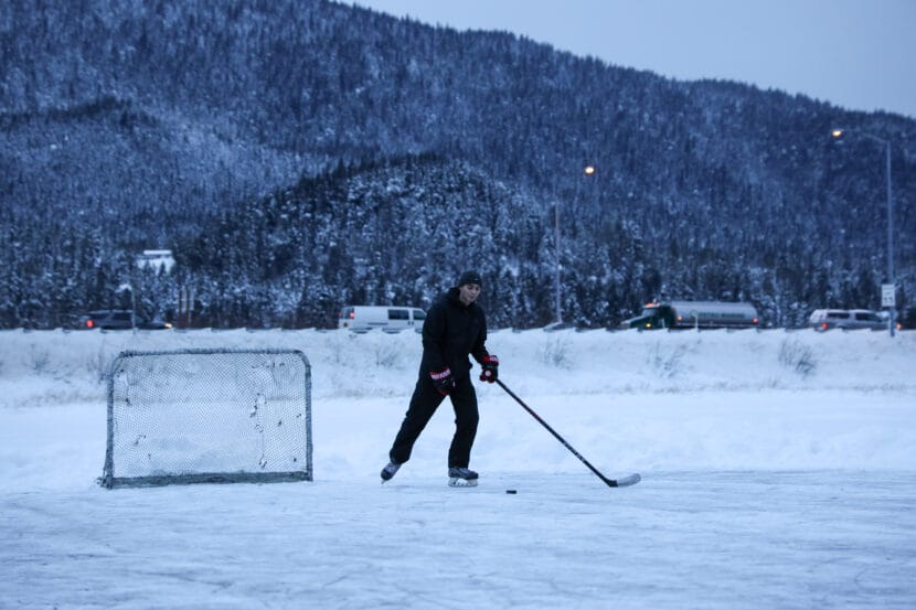
The forecast shows that a Taku wind event could start as early as Thursday evening. The strongest gusts of 60 miles per hour or more are predicted to blow Saturday. Wind chill temperatures could reach as low as negative 15 degrees Fahrenheit. Without wind chill, temperatures are expected to range from the teens to negative 3 degrees Fahrenheit through Monday.
“We could see some periods, especially where we have the higher winds, that frostbite is going to be a real danger, and that’s where dressing in layers, covering up is important,” said Jeff Garmon, the meteorologist in charge at the National Weather Service in Juneau.
He said the wind could also whip up freezing ocean spray, which can cover boats in ice and make maritime travel dangerous.
Garmon said this December is on track to break weather records.
“It’s looking like the numbers are shaping up for this to be the coldest we’ve seen in over 30 years in Southeast Alaska,” he said. “It’s a little unusual to go through like a two to almost three week period and be as cold as we are.”
Garmon said cold snaps in Juneau typically last just a few days, instead of weeks. He said this one is caused by a consistent flow of strong polar air moving in from interior Alaska and Canada.
Some locals might have seen a social media post from the NOAA NWS Climate Prediction Center warning that dangerous temperatures as low as negative 40 could hit Southeast later this month and into January. The post has been deleted, and Garmon said it looks like it was an error.
“I think what happened there was somebody in Washington (D.C.) got their wires crossed,” he said.
Garmon said such low, arctic temperatures are unlikely in most of Southeast. But he said that farther north — in exposed, high elevation spots like the Klondike Highway — it’s possible to see wind chill temperatures even lower.
The National Weather Service’s extreme cold warning for Skagway and White Pass says wind chill temperatures as low as negative 50 degrees Fahrenheit are expected. But Garmon said areas near sea level would probably see somewhere around negative 10 at the coldest.
In dangerous conditions, officials say it’s important to be prepared in case utilities fail. There’s been a string of power outages in Juneau this month.
Ryan O’Shaughnessy, the emergency programs manager for the City and Borough of Juneau, said to stock up on non-perishable foods, drinking water, blankets, flashlights and batteries in case the power goes out.
“It’s really important to be careful using candles for light and to heat your home — that can pretty quickly turn into a fire hazard,” he said.
To prevent pipes from freezing and bursting, he said to keep taps dripping. And he suggests keeping extra blankets and warm clothes in the car, in case it breaks down.
O’Shaughnessy urges residents to sign up for the city’s emergency alerts. He said just under 3,000 people are signed up.
Vulnerable populations will be the most susceptible to harsh conditions. Juneau’s emergency warming shelter in Thane is open each night. Transportation is available to the Glory Hall, Juneau’s homeless shelter, which offers meals and allows people to stay warm during the day.
The city is asking those with boats docked at the harbors to check and make sure everything is secure and working properly.
Garmon said a possible snowstorm could come through Juneau around Christmas and may bring warmer, maritime air that could pull temperatures out of the negatives. But he said it’s still too far out to be confident.
 (5)")