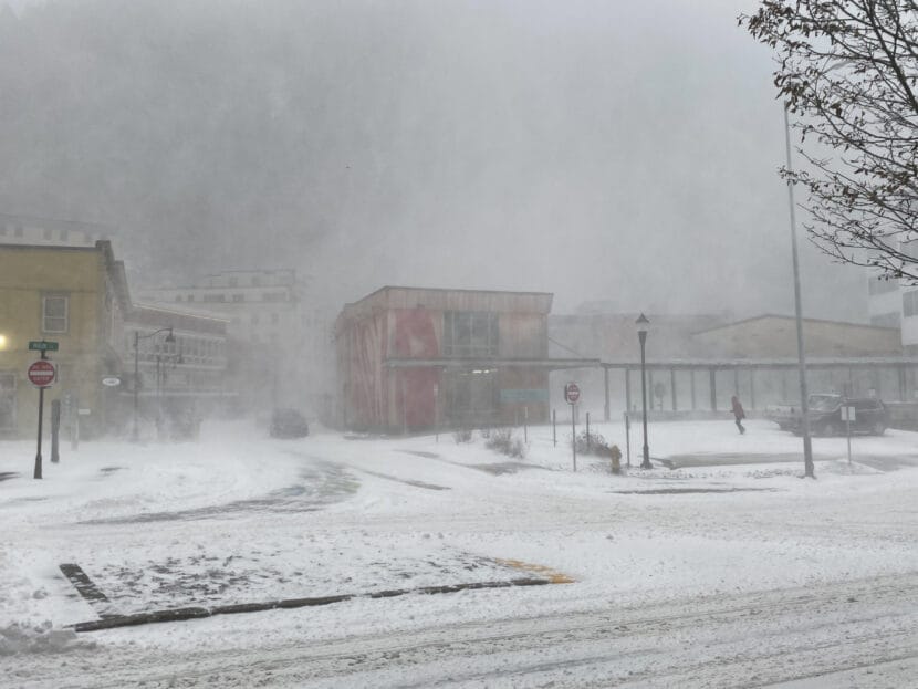
Snowfall is expected across Southeast Alaska this week, starting tonight. But Juneau may be hit the hardest.
The National Weather Service has issued a winter weather advisory for the city from 6 p.m. Monday through 3 a.m. Wednesday, calling for 8 to 14 inches of snow.
Meteorologist Nicole Ferrin says snowfall is not expected to be especially wet or heavy, but it will be sustained over the next couple of days. Several bands of moisture are expected to stall over Juneau, and frigid air pouring in from Taku Inlet and Icy Strait will keep it cold enough for dry snow.
“It’s a 36-hour-long event so the totals are more reflective of how long we expect to see the snow accumulation,” Ferrin said.
The incoming snow is thanks to the collision of a low pressure system that’s gathering moisture over the northern Gulf of Alaska and a high pressure system over the Yukon, which has sustained dry conditions, clear skies and frigid temperatures across the panhandle over the last week.
Ferrin says the snowfall forecast could change as the storm hits. As snow begins this afternoon, forecasters expect more dry, fine crystals that won’t pile up much.
“But usually as the storm evolves the snowflake type will change and be able to accumulate a little bit better,” she said. ”
For now, the forecast calls for 3 to 5 inches overnight on Monday with an additional 3 to 5 inches throughout the day Tuesday.
Snowfall should be less severe outside of Juneau. Skagway, Haines, Sitka, Wrangell, Petersburg, Ketchikan and Prince of Wales Island may see more brief pockets of snow, with accumulations ranging from 1 to 4 inches over the next couple of days and the potential for freezing drizzle.
The storm already started to hit Yauktat as of this morning, but slightly warmer than expected temperatures there created a rain-snow mix.
Warmer temperatures expected mid-week may slow snow accumulations temporarily, but some less intense snowfall is still likely, and temperatures are expected to Winter weather conditions might make travel hazardous.