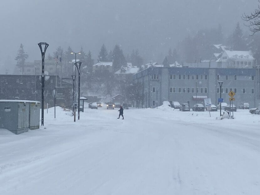
After a week of clear skies and cool temperatures, people across the panhandle woke up to snow Friday morning. The National Weather Service issued a winter storm warning for Juneau and Gustavus effective through Saturday morning.
Friday brought a white haze of dry snow to Juneau and much of Southeast Alaska. NWS Meteorologist Spencer Fielding said that snowfall would pick up in the evening and through early Saturday morning.
By 12:00 AM on Saturday, more than 14 inches of snow were recorded at Juneau International Airport — a record for that day. The previous record for Feb. 24 was 9 inches, back in 1967.
Overall, snowfall in Juneau has been below normal this winter, with relatively little snowfall in January. But the snow total has been higher for the month of February, with several small snowstorms earlier this month.
Fielding said that snow for this storm would be mostly light and dry with smaller flakes because of the cold, dry weather earlier in the week.
“So what causes snow to be light and dry is the upper air temperatures. If it forms and falls through cold, dry air we’ll see lighter snow,” he said.
The influx of new snow has raised the urban avalanche forecast for Juneau to high. Dry snow can be easily transported, and with high winds predicted for the coming days, there is potential for large avalanches. City officials are encouraging residents to avoid the Flume Trail and the gated area behind the Behrends neighborhood and to be “extremely conservative” in mountain terrain.
This story has been updated to include snowfall totals from Friday and the avalanche forecast.
 (5)")