After a record-setting weekend, temperatures have dropped to a more normal range in Sitka and elsewhere around Southeast.
Sitka topped 60 degrees three times over the MLK Day weekend — Annette Island recorded a high of 65 on January 14.
Over the past couple of decades satellites, computers and remote data collection have made huge advances in weather forecasting possible.
The National Weather Service is bringing online one of the most sophisticated weather observation tools ever — regular people.
Of course it’s an app. You can download it for your iOS smartphone from the Apple iTunes Store. Android users can find it at Google Play.
“This app was actually developed initially to help calibrate radars,” said National Weather Service forecaster David Levin of Juneau. The technology was developed in 2012 at the National Severe Storms Laboratory in Oklahoma.
“When we first came out with what’s called dual-pol radar technology. It allows you to see the shape and the type of precip, as opposed to just how much precip is out there,” Levin said. “But they weren’t sure how well it was actually doing, so they developed this app where people can tell you what kind of precip was occurring at their location. Then they could look on the radar and see what was happening and calibrate those precip types that way.”
And so mPing, which stands for Meteorological Phenomena Identification Near the Ground, was born.
The app combines the global positioning capabilities of your phone, which is the technology behind Google Maps, with old school weather observation.
It’s crowdsourced weather data, and Levin said it’s been especially useful in the Lower 48 to track the intensity of severe storms.
In populated areas, the accumulating pings as people track and report weather start to resemble a kind of human radar.
In Alaska, where low population density is the rule, the mPing app is serving a slightly different role.
“Up here, we’ve actually found it useful for some of the areas where we don’t have weather observation equipment,” Levin said. “It’s really kind of hard sometimes to tell what’s going on in some of these more remote communities.”
Levin said forecasters have real-time access to data from mPing.
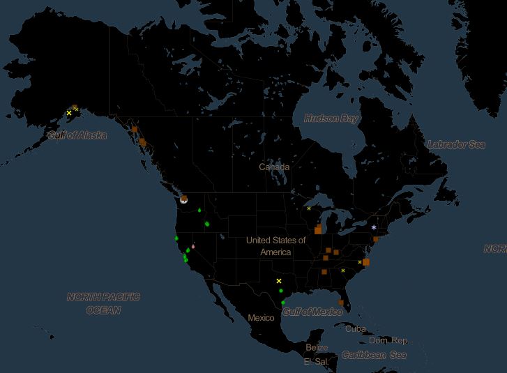
The pings arrive — in this case — on a big map of Southeast Alaska. And they’re graphic: Snowflakes appear when someone reports snow; raindrops appear for rain.
The app has a drop-down menu of the kinds of things you can report, such as drizzle or ice pellets, and it also allows you to report storm damage, like uprooted trees.
And Levin said you can also report nothing. As in nice weather.
“Believe it or not that’s actually kind of helpful,” Levin said. “If we have a forecast out for heavy snow and it’s not actually doing anything — that would be an example where ‘nothing’ would be helpful.”
Whether a lot of people download and use mPing, or whether just a few people use it in places where forecasters have no remote tools, the app will contribute to making better weather forecasts.
People like talking about the weather; now they can ping it right to a screen in front of the weather guy himself.
