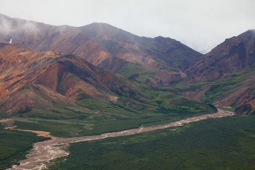
What’s in the dirt in Alaska?
Federal and state researchers teamed up to make it easier for everyone to find out. For the first time in nearly 40 years, Alaska has an updated atlas of the chemical composition of its earth, rocks and minerals.
The updated geochemical atlas was an outgrowth of another project. Geologists and surveyors were on a mission to find rare earth elements and minerals that could be strategically important to the country.
Melanie Werdon is the acting chief of the mineral resources section of the Alaska Division of Geological and Geophysical Surveys and one of the geological scientists who teamed up with the U.S. Geological Survey, or USGS, to investigate the state’s minerals.
“China was restricting the exports of rare earth elements and they were a large source of that worldwide and it caused an awareness that the United States needs to know more about all of the strategic minerals and metals that it is heavily reliant on for imports,” she said.
That national survey of critical minerals isn’t done yet, but the newly updated geochemical atlas of Alaska was released in June.
The atlas helps determine which parts of the state can be used for metals or mineral production; where the state’s geothermal resources are; and potential geologic hazards to buildings, roads and bridges.
One biologist talked to Werdon about how geochemistry could inform his wildlife research in the northern part of the state.
“He was interested in studying why there were some deformities in moose up there and one of the ideas he had was to look at the chemistry of the area. Look at the alders and see if they had elevated cadmium levels and then tried to correlate that with rocks and moose habitat for eating willows.”
A lot has changed since the last time geologists made a comprehensive map of the state.
Jeff Mauk, a research geologist at the USGS in Denver and one of the authors of the atlas says testing of the soil samples has become more complex.
For example, 50 years ago, labs were well-equipped to test for elements like copper. Now, batteries, cellphones, and laptops require soft metals that were previously unknown.
“Praseodymium, gadolinium, neodymium, those are used in smartphones, for things like speakers and microphones. We weren’t even analyzing for those 50 years ago. We just don’t know about their distribution in the Earth’s crust in Alaska.”
The new atlas isn’t exactly a tell-all book about where to go in Alaska to find things like platinum or gold.
Rather, it maps the distribution of 68 elements that can be found across the state and indicates the mineral resource potential in Alaska.
The atlas also isn’t a comprehensive look at the state’s geology. Mauk says in some areas, it’s difficult to gather reliable data.
“It’s mostly around the Yukon Delta where there’s simply no rocks at or near the surface and because of that there just aren’t a lot of geochemical samples there. Even if there were, it’d be very difficult to interpret, because they really aren’t sampling bedrock. They’re just sampling stuff that’s been washed in from huge distances.”
Mauk says there will be lots of opportunity for researchers to use the maps as a launching point to dig deeper into the dirt.
