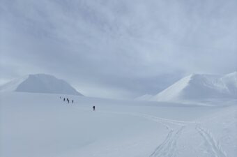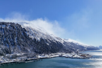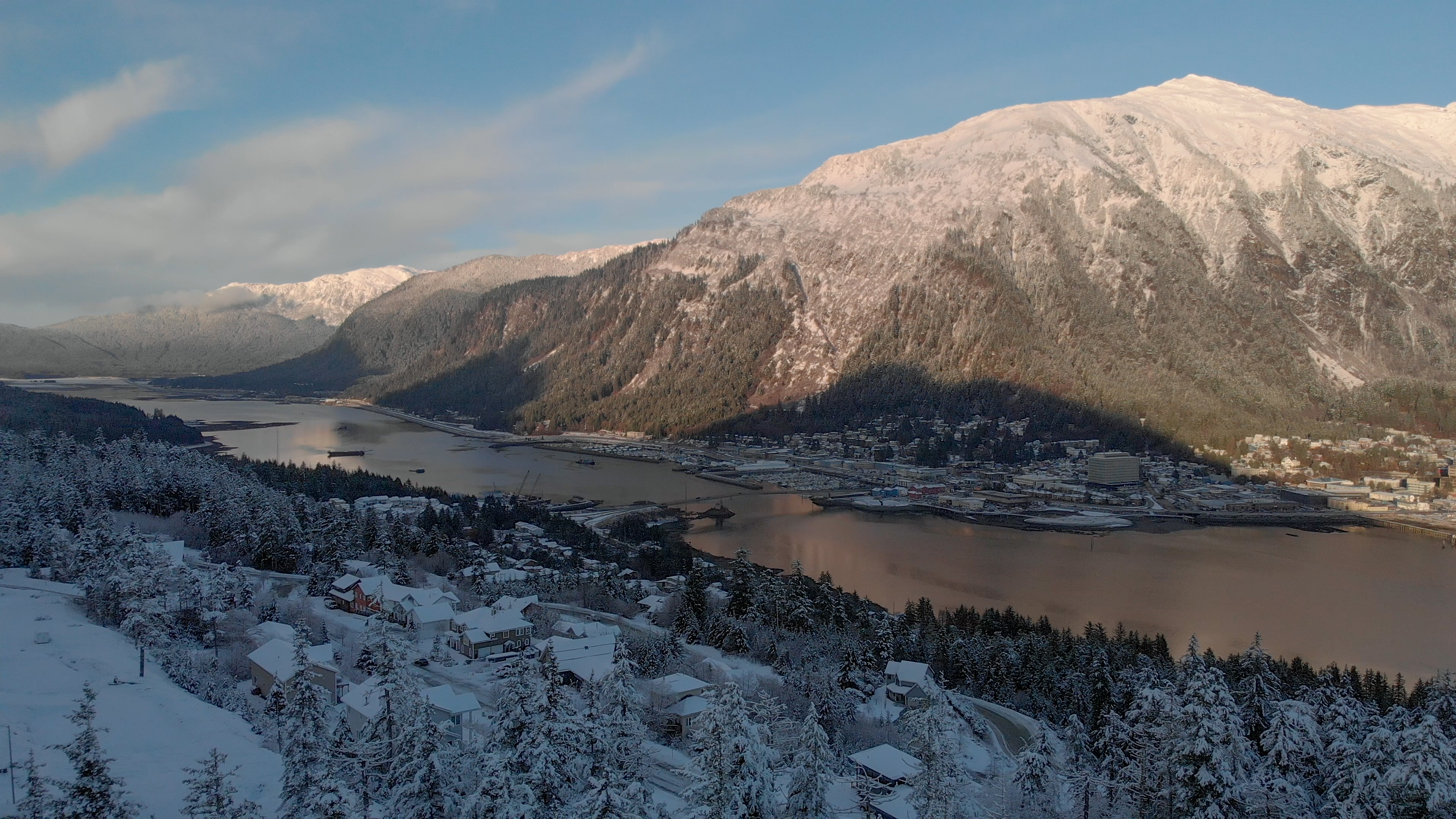
New maps put 200 more structures in Juneau’s hazard zones for landslides and avalanches.
They’re among the now roughly 550 structures in the capital city at moderate to severe risk of damage or destruction in a disaster — about half of the buildings and homes in the downtown area.
Juneau’s current hazard maps were made in the 1970s. Its new maps were finished this year, using advanced technology that paints the most accurate picture of risk in the city’s mountainous terrain.
“It’s a big change,” said Alexandra Pierce, Juneau’s planning manager. “The new maps are much, much easier for us to use and also much, much more accurate. It does mean some changes for people in the community and their properties.”
Juneau’s planning department has tried to upgrade its outdated maps before, back in the 1990s, but the assembly didn’t accept them. That’s because while the science is rock solid, the politics are where the maps start to crumble.
Insurance costs and resale value may change for homes in known hazard areas. Juneau’s code restricts construction and subdivision in those places too. That can generate push-back from the public.
Pierce says the city doesn’t have information on how insurance rates and values may change. All it’s doing is moving to adopt the maps.
The conversation about regulations and what’s allowed and what’s off limits in hazard areas will happen next year.
“We all recognize that people’s home is the biggest investment that most of us make in a lifetime. And that dealing with issues outside of your control that affects your property can be scary and can be difficult to digest. And our goal in this project was to give the public the most accurate and up-to-date information on the landslide and avalanche hazard areas in downtown Juneau,” said Pierce.
What the public wants to do with that information is up to the public and its elected officials.
The maps go to Juneau’s Planning Commission in mid-August and should be before the assembly by September.
The city’s planning department and the contractors who created the new maps will be available at a virtual neighborhood meeting on Wednesday evening. They’ll be taking questions and comments from the public.

 (5)")