National Weather Service forecaster Bob Tschantz says Juneau residents can expect cooler temperatures tonight through tomorrow and intermittent rain, becoming steadier Wednesday night.
“After that it should start to dry out again as we head into Thursday and we should warm back up again,” Tschantz says.
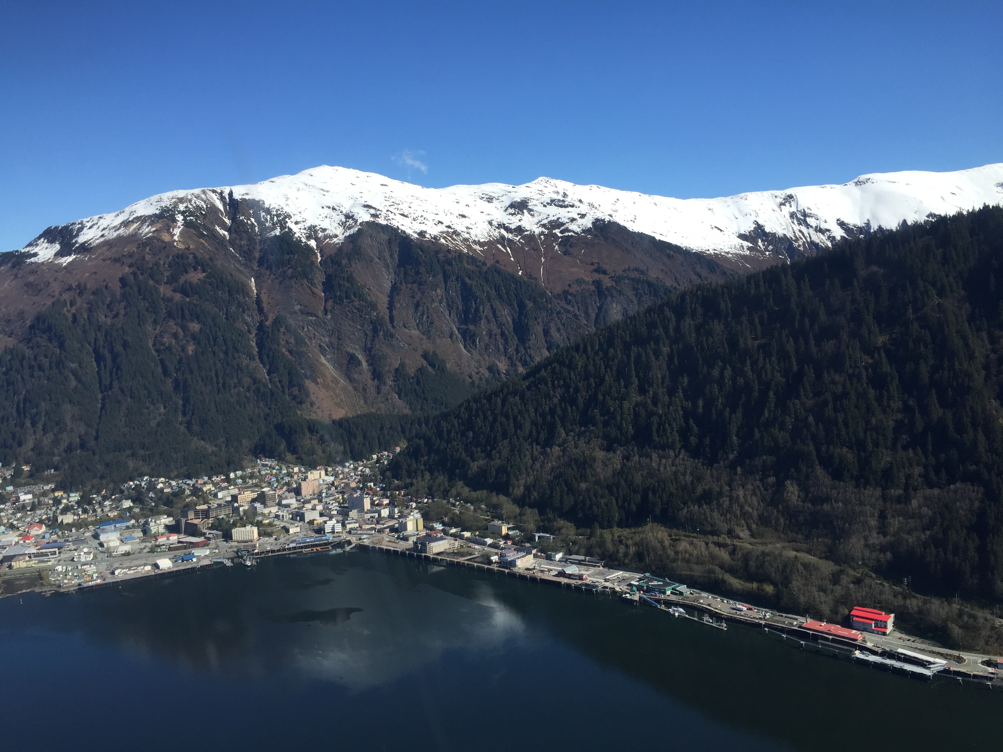
May is ordinarily a dry month for Juneau, along with April and June. But this year it’s been drier than normal. On average, Juneau gets 3.4 inches of rain in May. So far, less than half an inch has fallen. Tschantz says this month could break a 2004 record for driest May.
The capital city has also been warmer than average. Normal high temperatures in May are in the upper 50s. This month, the airport reached 73 degrees on several days. But it’s still far from breaking a record high temp in May of 82 degrees set in 1947.
For the rest of the summer, Tschantz says the National Weather Service is forecasting warmer and dryer than normal weather, but that could change quickly.
