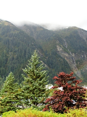
Twenty-seven of 30 days in September were rainy in the capital city, according to the National Weather Service.
Just over 11-inches of rain fell, more than 2.38 inches above normal September rainfall of 8.6 inches.
Normally September and October are Juneau’s rainiest months, but this year the nearly constant rain began in May.
Take heart, says forecaster Rick Fritsch, it was actually rainier in British Columbia.
“With as cool as our summer has been, the jet stream never really got as far down to the south as it normally should go. As a consequence a lot of those storms that are being driven or steered by the jet stream were being steered into the west coast of North America — something halfway between the typical winter locations and the summer locations. So we had it bad certainly, but British Columbia got a soaking even worse than we did this summer,” he says.
Average temperature in Juneau was .04 degrees below normal.
As for the last day of the month, the first frost of the season hit in several parts of the Mendenhall Valley. Even at Juneau International Airport, the official climatology site for the borough, the overnight low dipped to 38 degrees.
New snow also fell in the mountains, even a few flakes at the top of Eaglecrest.
If the cool, wet summer and early autumn are a predictor of winter, it could be another good snow year. But Fritsch says an El Nino is forecast this winter.
“The El Nino is when the surface of the sea water right around the equator on the west coast of South America is the tongue of warmer than normal water that extends to the west along the equator,” he explains. “And then through lots of interactions between the oceanography and meteorology, what that translates into for us up here on the Gulf of Alaska, is a warmer than normal winter time seasonal temperatures.”
Fritsch says you can’t conclude anything from knowing it’s an El Nino year.
“There’s also this thing called the Pacific Decadal Oscillation which is related to the sea surface temperature in the Gulf of Alaska. And for over 18 months now, we’ve been in a negative PDO, which translates into cooler than normal ocean surface temperatures in the Gulf of Alaska,” he says.
Predicting what all these patterns mean for Juneau winter is “like playing the roulette table in Las Vegas,” Fritsch says.
