If you’ve spent any time in Sitka, you’ve probably seen Mount Edgecumbe. It’s one of Southeast Alaska’s most-viewed volcanoes, rising 3,000 feet from the ocean, only 10 miles from the former Russian capital.
It last erupted about 4,500 years ago, which is recent in the world of geology. But other volcanic sites in the region have seen more recent action. A dedicated group of geologists has spent several years searching for lava in the rainforest.
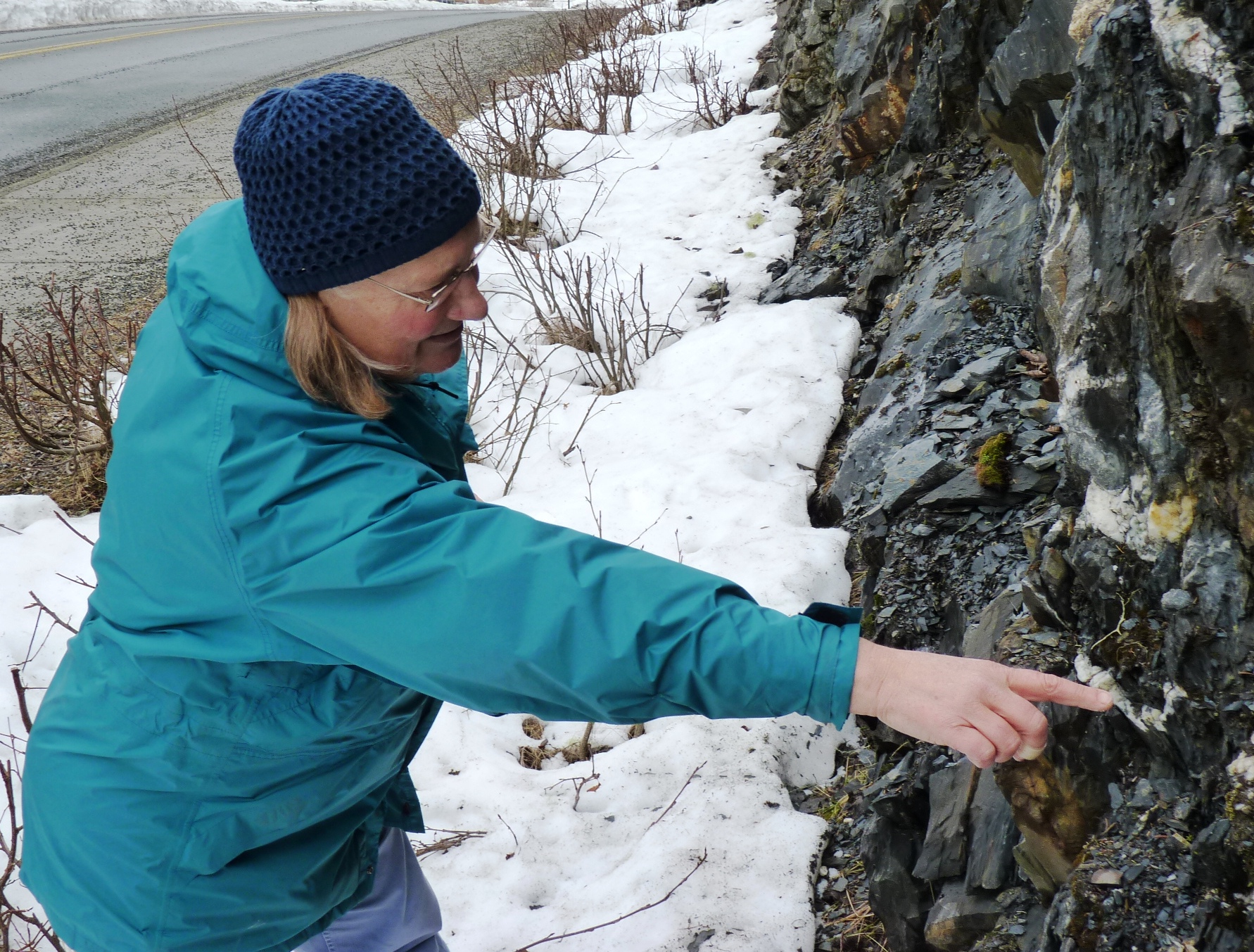
“So we are walking down the rec center road at UAS and on our right, or north side of the road, is a wondrous outcrop,” says Cathy Connor, as she approaches a rock face recently exposed by construction at the University of Alaska Southeast.

The Juneau geologist and geology professor points to an outcrop of asbestos, veins of quartz, and something else.
“Notice what’s happening now. What do you see up there? Do you see any change in color?” she asks as she points to a darker rock deposit.
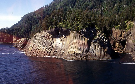
“What I think we’re having here is just a little place where lava vented at the sea floor. And we’re getting some pillows of basalts where the magma rose, hit that cold sea floor and then gelled into a balloon or beach-ball sort of shape. And now that it’s all exposed it’s oxidizing, and making that rusty color,” Connor says.
The lava formed about a hundred million years ago, the quartz about 40 million. And that’s the same range as many similar rocks throughout the region.
But elsewhere in Southeast, volcanic activity is within the realm of human memory.

“The youngest basalts, the youngest eruptions that we know of, are about 110 years old,” says Susan Karl is a research geologist for the U.S. Geological Survey in Anchorage.
She says that lava, on the U.S.-Canada border northeast of Ketchikan, was dated by counting rings on trees caught in its path.
“Because they’re that young, they’re the youngest ones we know of right now, it’s certainly possible that more of these volcanoes could erupt at any time. We don’t see them as an imminent volcanic hazard. But they certainly are something we should be keeping track of,” Karl says.
“It’s quite surprising how many volcanics there are in Southeast,” says Jim Baichtal, a geologist for the U.S. Forest Service in Thorne Bay.
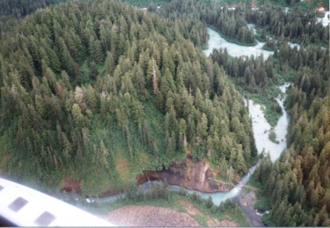
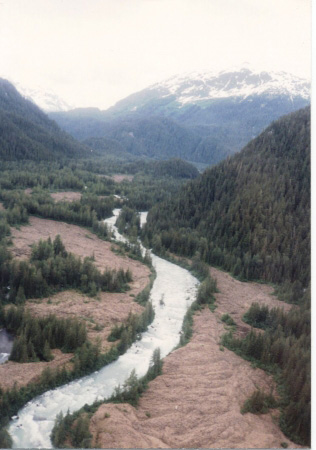
He, Connor and Karl have spent the past two or so years searching for new cinder cones, lava flows and other volcanic evidence.
Karl says they’ve found a dozen features, bringing the known regional total to about 50.
“Jim has given a number of talks around Southeast Alaska and shown people pictures. They’ll come back and tell us, ‘Oh, I’ve seen one like that over in this place or that place.’ And that’s actually how we’re found some of the new volcanic centers,” Karl says.
Some of what they’ve found appear to be eruptions beneath long-gone flows of ice. That interests Baichtal.
“If that‘s sub-glacial, it can actually blow a hole up through the ice, and it collapses back on itself. But as this thing continues to erupt, you may have an ice wall all the way around. And that’s what we believe Painted Peak, in behind Ketchikan, is,” Baichtal says.

So why are there volcanics in Southeast? It’s all tied into the region’s geological history. Basically, a series of tectonic plates – slow-moving chunks of land or ocean floor – crash into, and becoming part of, our mainland.
As they collide, rub against, or slide under each other, they heat up, or create cracks that release magma.
Karl, of the U.S. Geological Survey, says the region’s volcanic centers line up along major faults – or the intersections of two faults.
“So what the faults are doing is they’re providing a plumbing system, they’re providing an avenue for these little puddles of melt under the margin to come up,” Karl says.
Chemical analysis shows the recent arrivals are part of a much-larger volcanic system stretching into parts of British Columbia and the Yukon Territory.
Back at the university rock cut, geology professor Connor points out ribbons of quartz running through a crumbly, slate-like layer. They were formed as the Earth’s crust bent and flexed, which also brought a belt of gold-bearing rock into the ground beneath Juneau.
There’s evidence that the bending and flexing may have been a result of ice-age glaciers melting fast, allowing the land to rise. Could today’s climate change-caused shrinking icefields create a similar situation?
“I suppose it’s always a possibility. You just have to hold onto your socks, and see what comes,” she says, laughing.
