Update | 4:22 p.m.
The National Weather Service has extended its winter storm warning and increased its snow accumulation estimates. The warning is now in effect until 6 a.m. Friday and snow accumulation is now expected at 8 to 16 inches.
Original story | 2:33 p.m.
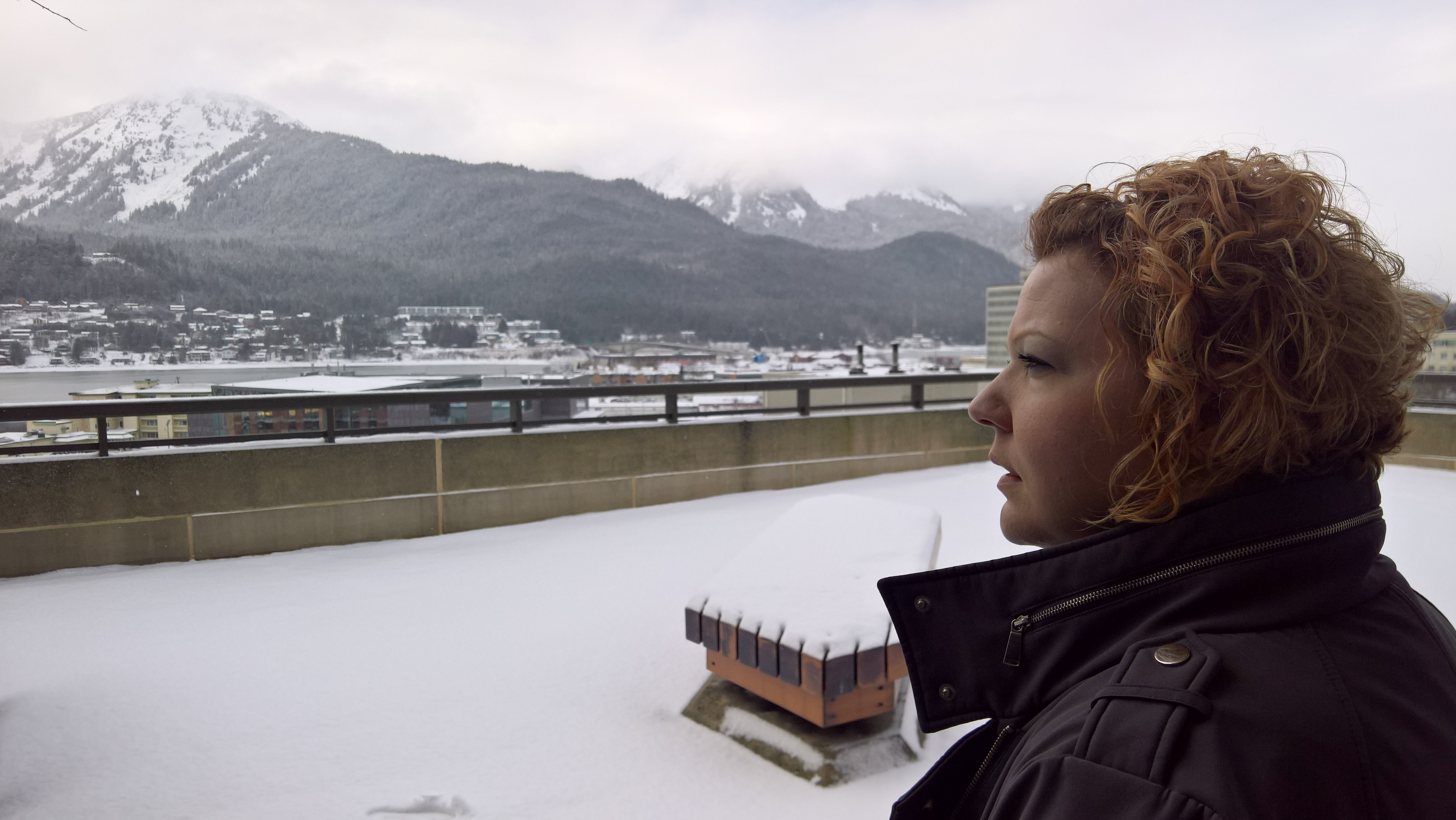
Six to 10 inches of snow are now forecast to accumulate in Juneau during this storm.
The National Weather Service’s winter storm warning remains in effect until 6 p.m. Thursday for an area that includes Juneau, Hoonah, Tenakee Springs, Pelican and Elfin Cove. The service warns that travel will be hazardous.
As of noon Thursday, a Juneau Police Department dispatcher reported few weather-related incidents.
Meteorologist Edward Liske in the Juneau office said the heaviest snowfall stopped about noon. Another 1 to 3 inches are forecast to fall tonight and that’s expected to taper off Friday morning.
“Yeah, we stay below freezing for at least the next seven days at least,” Liske said. “So looks like that snow is not going to be going away any time soon.”
This morning, the Eaglecrest Ski Area reported 7.2 inches of new snow in the last 48 hours at the base and guaranteed “an amazing powder day.”
 (5)")