After a rainy summer, climate scientists aren’t quite sure whether Southeast Alaska will get more, less or about as much rain and snow as usual. They’re equally unsure about this fall’s temperatures.
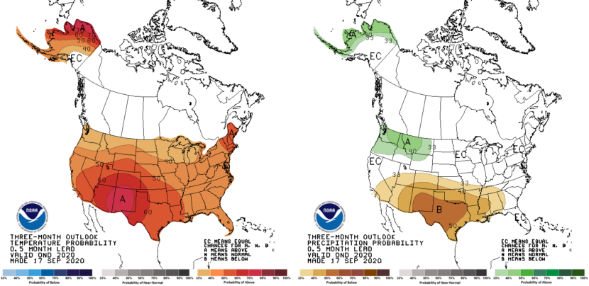
In its outlook for October, November and December, the National Oceanic and Atmospheric Administration’s Climate Prediction Center said Southeast has equal chances of temperatures and precipitation that are above, below and near normal.
Rick Thoman is a climatologist with the Alaska Center for Climate Assessment and Policy at the University of Alaska Fairbanks.
“Now, that doesn’t mean near normal is likely, it means near normal is as likely as significantly above or significantly below,” said Rick Thoman, a climatologist with the Alaska Center for Climate Assessment and Policy at the University of Alaska Fairbanks.
“Basically, all the tools that we have to use to generate these seasonal time-length forecasts, there’s no definitive signal in the climate models in history to move the odds for Southeast Alaska for the upcoming October through December season,” Thoman said.
Despite the uncertainty for temperatures and precipitation, Thoman said areas south of Juneau could see more snow than usual. That’s because temperatures in parts of the Pacific Ocean are below normal — a condition known as La Niña.
“There is a tendency that for Southeast — especially southern Southeast — these La Niña winters often produce one or two significant cold outbreaks. And, you know, it really ups the chance of significant snow, especially south of Juneau, places like Ketchikan that often don’t get very much snow. But once in a while you get that cold air that stays in place and you can get a big snow, as we saw just a few years ago,” Thoman said.
NOAA’s climate forecasts draw on historical weather data and sophisticated computer models. Thoman said those models aren’t great at predicting precipitation.
“For Alaska, over the last four years, there has been just a tiny bit of skill. And by skill, I mean, a tiny bit better than a random guess,” Thoman said. “But temperatures are much better, and that’s not surprising. Precipitation is much more localized.”
That is, rain and snow totals can vary widely from place to place while temperatures are more uniform.
While Southeast’s fall outlook is largely unclear, NOAA predicts the North Slope and much of coastal Western Alaska will see a warmer and wetter autumn than usual.
