The forecasters said it would be “crippling,” “mind-boggling” and historic.
Well, this time around we can’t complain about them getting it wrong.
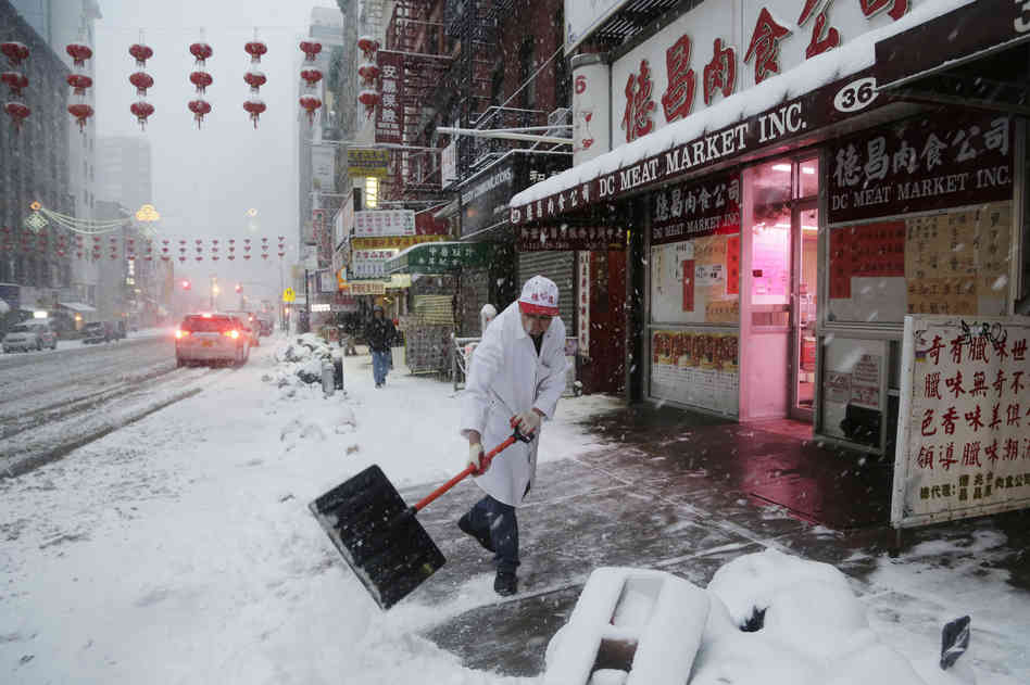
Just as expected and feared, a dangerous winter storm has now spread snow, sleet, ice, freezing rain or some combination of all four from Texas to the mid-Atlantic. Next up: the Northeast and New England.
According to the National Weather Service, “a wide swath of heavy snow accumulations are expected with this storm” Thursday and Friday from Maryland through Pennsylvania and New York and then on to Massachusetts and parts north. And while coastal areas may only get rain, the Weather Service warns that “sleet and freezing rain … [are] expected to set up near the I-95 corridor” — which means travel along that major artery from Washington, D.C., through Philadelphia, New York and on to Boston could be difficult, if not impossible.
We’ve already seen how this storm can shut down traffic. It brought things to a standstill in parts of North Carolina on Wednesday.
— 10:30 a.m. ET. What To Expect:
The Weather Channel walks through what conditions will be like for the Thursday afternoon and Friday morning commutes from Washington, D.C., north into New England. Basically, the news isn’t too good. While the snow, rain and ice will gradually stop falling, the temperatures are going to be low enough for things to freeze.
— 8:25 a.m. ET. From South To North, Headlines Tell The Story:
“Now is not the time to get out on the roads.” (Atlanta Journal-Constitution)
“Power outages top 100,000 statewide.” (North Carolina’s Raleigh News & Observer)
“D.C. area paralyzed by storm.” (The Washington Post)
“Nasty nor’easter: 8.8″ of snow, slippery sleet.” (Philly.com)
“Tricky to predict but storm could be whopper.” (Albany, N.Y., Times Union)
“Boston to get up to 5 inches of snow Thursday; W. Mass. could see 24.” (Boston.com)
NPR Stations Covering The Storm Include:
What else has the storm done so far?
— Fatalities. There have been at least 12 weather-related deaths, according to The Associated Press. Among them: Three people who were killed “when an ambulance careened off an icy West Texas road and caught fire.”
— Power outages. As of early Thursday, about 550,000 customers had no electricity in Georgia and the Carolinas. As the AP reports, “ice combined with wind gusts up to 30 mph snapped tree limbs and power lines. … Some people could be in the dark for days.
— Roads. In Atlanta, where snow is tapering off, motorists are being advised to stay off the streets until temperatures rise into the 40s later today. North Carolina’s Charlotte Observer says roads in that city “are expected to remain treacherous Thursday because of freezing rain and ice that started late Wednesday.” In Washington, D.C., WTOP radio’s Dave Johnson put it very simply just before 4 a.m. ET when he called his station from the Beltway that rings the nation’s capital: “I should not be out here,” he said. There was 8-10 inches of snow in some of the D.C. suburbs.
— Cancellations. Schools are closed across the affected states. The federal government’s offices in Washington, D.C., won’t be open today. Planning to fly anywhere? Think again. Already, according to FlightAware.com, more than 4,400 flights into or out of the U.S. have been canceled today. Another 250 or so have been delayed. Amtrak has reduced service in the Northeast and canceled many trains that normally head south toward Florida and the Gulf Coast.
As for what’s ahead the rest of today, here’s what The Weather Channel is saying:
“We expect a swath of 5 to 12 inches of snow in a corridor from western and central Virginia and eastern West Virginia to parts of Maryland, southern and eastern Pennsylvania, northern New Jersey, the Hudson Valley of New York mainly north of New York City and New England. Higher elevation locations in New England, including the Berkshires, could see up to 18 inches of snow.
“Significant snow will affect parts of the Washington, Baltimore, Philadelphia and New York City metros initially, before potentially mixing with or changing to sleet or rain. Accumulations of 5 inches or more are possible before any potential changeover occurs.”
Since many of us will be staying home and mostly staying inside today, we want to remind everyone that Two-Way readers have many good ideas about good things to do:
Let’s Weather The Storm: Share ‘3 Things To Do When Stuck Inside’
9(MDEwMjQ0ODM1MDEzNDk4MTEzNjU3NTRhYg004))
Read original article – Published February 13, 2014 6:00 AM
Northeast, New England Brace As Ice And Snow Move Up Coast
