
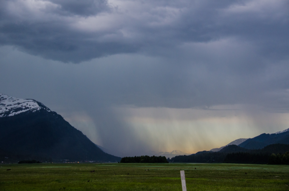

A thunder and lightning storm hit Juneau Monday a little before 5 pm.
The National Weather Service in Juneau says it was caused by a strong disturbance in the mid-levels of the atmosphere that moved down from the north. The last thunder and lightning storm in Juneau was on September 10 of last year.
Juneau also saw record-breaking hot temperatures this past weekend.
Rick Fritsch is a meteorologist with National Weather Service in Juneau. He says the heat wave started on Saturday.
“Eighty-three degrees on Saturday, and that record was last set in 1969, so that was a fairly long record. And yesterday at the Juneau Airport, old record was 82 degrees set way back in 1948 and we beat that record by a full three degrees, so the high temperature at the airport was 85 degrees.”
Fritsch says the hot weather was caused by an inverted trough stationed over western Canada. It shifted to the west bringing the warmer pool of air closer to Southeast Alaska and finally over the coast mountains. Clear skies this weekend in conjunction with the inverted trough and fairly calm winds allowed the temperatures to rise.
According to Fritsch, the warmest of the weather is over, but temperatures today and tomorrow are still going to be significantly higher than normal.
“We’re expecting temperatures to once again get into the upper-70s and possibly into the low-80s if you find an open area like Eagle Beach. For tomorrow, temperatures are starting to come down. We have a forecast right now for temperature ranges in the Juneau area from 70 to 75, so there’s a little bit of reduction, but still well above normal for this time of year.”
Records were broken throughout Southeast this weekend, from Ketchikan to Yakutat, which saw a high of 74. The highest recorded temperature was along the Haines highway at 92-degrees.
