If you’re heading into the mountains around Haines this winter, you’ll now have a better idea of what the conditions are like before going out. A weather station installed on Mt. Ripinsky last month is now transmitting data back to the web for anyone to use.
A volunteer crew helped carry around 200 pounds of equipment up Mt. Ripinsky on a sunny September day.
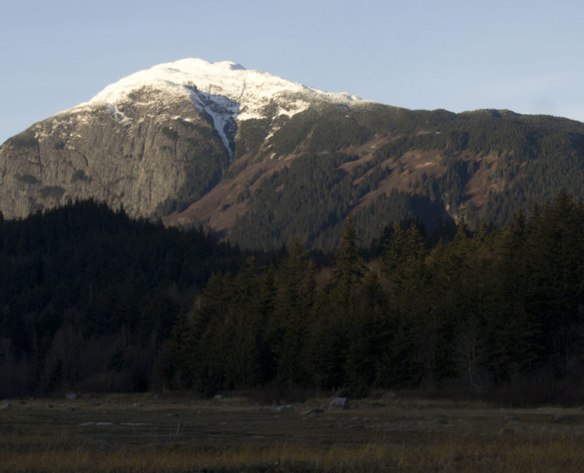
“We’ve been planning this project for about a year and the idea has been in the works for several years,” says Erik Stevens, director of the Haines Avalanche Information Center, which is affiliated with the Alaska Avalanche Information Center. With help from volunteers, he assembled the equipment into a weather station just below tree line at 2,600 ft.
“It’s an alpine weather station,” says Stevens. “It has temperature, wind speed and direction, rainfall and snow depth is what it measures.”
Then, that data is transmitted to the center’s website.
Stevens says the new weather station is useful for a few different reasons.
“One is just safety and preparedness,” says Stevens. “When you’re going out hiking or climbing or skiing on the mountain it’s really good to know what the conditions are like up there before you go out.”
It’s also important for avalanche forecasting.
“So it helps us kind of calibrate our forecast of what we expect to happen for the day and what we think happened overnight,” says Stevens.
There are three areas that the Haines Avalanche Information Center keeps an eye on.
“We call them forecast zones,” says Stevens. “They’re different because the climate is distinctly different in each of these areas. There’s still micro-climates within these areas but in general, the weather is pretty similar within each zone.”
The area closest to town is the Lutak Zone.
“And that’s basically a maritime area right above Haines,” says Stevens. “Mt. Ripinsky, Seven Mile Saddle, 3920, Tukgahgo, around Chilkoot Lake, that’s the Lutak Zone.”
That’s where the new weather station is. As you go further north there’s the Transitional Zone and the Chilkat Pass Zone.
“If you go a little more interior up the highway you get to the Transitional Zone,” says Stevens. “That includes Takhin Ridge, Old Faithful, Flour Mountain, Four Winds, that kind of interior area. Then if you keep going up into the pass, up into BC, that’s the Chilkat Pass Zone. And that’s a much more continental climate, a lot colder and windier, and often a lot more dangerous.”
Stevens says he hopes to eventually have weather stations covering all three forecasting areas. Avalanche information is important for safety. In this region, there have been five avalanche-related deaths in as many years.
“Ideally yeah, we would have a weather station in each zone,” says Stevens. “The more data the better. There’s also some data from the Palmer project. Constantine Mineral Resources has some data up the highway that we have access to. We’re definitely getting there. We’re much more data-rich then we were when we started out six years ago.”
This project was funded with grants from the Chilkat Valley Community Foundation and the Rasmuson Foundation, in addition to private donations of money and used equipment.
“We’ll be looking to upgrade that equipment and replace it as time goes on,” says Stevens. “But for now we’ve got something up and running and we’re really excited about that.”
Stevens says there could be some interruptions in the data going up on the website as they work out some technical issues. Otherwise, it’s all live on Alaskasnow.org.
