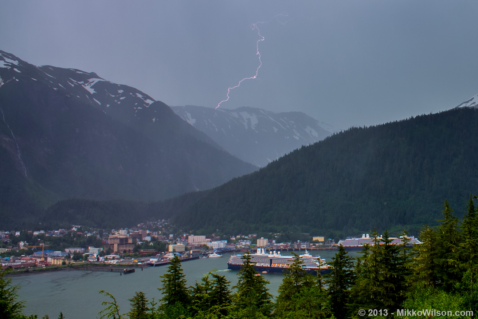
Rare thunderstorms in Southeast Alaska led the National Weather Service to issue a special marine warning Monday evening.
The warning covered a swath of Southeast, roughly from Juneau to the southern tip of Prince of Wales Island.
Between about 5 and 6 p.m. Monday, a network of ground sensors detected more than 100 lightning strikes in the affected area and portions of western Canada, says Rick Fritsch, the weather service’s lead forecaster in Juneau.
“Boats of course, very susceptible because by definition, they’re out there floating on the water. They are the high spot,” Fritsch says.

The weather stayed clear in Juneau through the end of the warning at 7:15 p.m.; weather radar images showed the brunt of the storm system over Chichagof and Baranof islands, Chatham Strait and parts of Admiralty Island.
Juneau averages about one thunderstorm every two years, Fritsch says.
“This is kind of interesting because late Autumn going into the winter is normally when we see thunderstorm activity, coming at us from the gulf,” Fritsch says.
He says moist air from Canada combined with unusually high ground temperatures — Monday’s highs in Juneau were 16 degrees above normal — caused the atmospheric convection that led to the thunderstorms.
