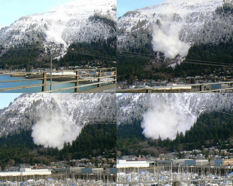
An avalanche described as a powder cloud came down Mount Juneau Tuesday morning.
CBJ Avalanche Forecaster Tom Mattice said the snow stopped high in the open meadows above the homes in the slide path.
He called it a size two avalanche, triggered by new snow and wind. Mattice said the wind had switched direction overnight and started blowing over the top of the mountains, and that filled in the urban avalanche paths.
“It was lone little piece of the avalanche path. There’s still a whole bunch up there that hasn’t slid, so an long as the winds continue to blow that direction there’s still danger. I don’t expect it to be of the size that would endanger any structures, but if the entire thing went at once, it could happen,” he said.
Mattice was on Douglas Island Tuesday morning taking pictures of the urban snow slide paths, when he saw the avalanche release.
The slide came to the bottom of the run out zone, but left no significant debris.
“It’s cold snow, so it travels fast and it travels far, but by the time it gets to the end of its duration, it doesn’t have some big old pile, it usually spreads out,” he said.
(Pictures courtesy of Tom Mattice, CBJ Emergency Programs Manager / Avalanche Forecaster)

